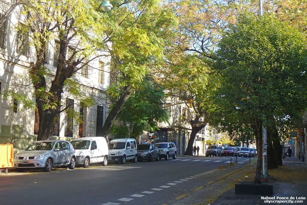
Latin America is a really beautiful region.
First, it spans a continent and a third. That is, it includes somewhat the entirety of South America, and about a third of North America. The southern part of North America is called Central America. Are there two Americas or three? There are hundreds. There are hundreds and hundreds of little Americas just hanging out and chilling all over the place.
First, you have governments. Of those, I estimate that there are roughly between twenty and forty of those in there. In attempted order from north to south, you have Canada, the United States of America, the United States of Mexico, the double-ocean region of Guatemala, El Salvador, and Belize. Guess which one is not a Spanish-speaking country. Then there's Costa Rica and Panama, as well as Nicaragua and Honduras, and then you have Colombia, Equador, Peru, Chile, Argentina, Uruguay, Brasil, ... and theeen there's Venezuela, the Guianas, and numerous indigenous groups, many of which have remained successfully uncontacted and temporarily protected in heavily forested areas, speaking of which, you also have the Amazon, the Andes, the huge deserts which kind of do an S along the downside of the continent through to Patagonia and out on the East Coast, and also Patagonia, the Pampas, the Guiana Shield, the Amazon River, the Rocky Mountains, the East Coast of the United States and Canada, the Pacific Northwest, the Pacific coasts of California, Mexico, Central and South America, the Mississippi River, Second- and Third-Level Adimistrative divisons, cities, towns, villages, counties, partidos, parishes, departamentos, municipalidades, provincias, estados do brasil, and numerous other political groups around the continents. Getting back to the countries, there is the Caribbiean, which includes numerous dependencies, independencies, and governments which are sitting in those regions. You also have large, semienclosed and navigable bodies of water which include the Caribbean Sea, the Gulf of Mexico, Hudson Bay, the Gulf of California, the Straights of Magellan, the Antarctic Sea, the Gulf of Argentina, the Rio de la Plata, the River of January, [note to self: translate to Portuguese], the Amazon Basin, the Lesser and Greater Antillies, Aruba, Puerto Rico, Cuba, the Dominican Republic, Haiti, Jamaica, Dominica, Makhtinique, the Netherlands, England, France, the Grand Cayman Island, the Virgin Islands, the Yucatan Peninsula, and then who else? There are also languages: Lakota, Spanish, English, French, and Yanomami come to mind, though there could be hundreds of others, also Inuit, Athabascan, Hodenasaunee Confederation, various political groups including governments and their various relationships among each other, which include governenments, indigenous peoples, overseas territories, business owners of varying degrees of accountability including corporations and traffickers, also you have educational groups such as universities and governmental groups which may or may not be recognized by anyone else at all and also lots of great habitats, including mainly the Neotropic and Nearctic Biozones, as well as the Arctic Ocean, the Gulf of Alaska, Vancouver Island, San Francisco, and many others to be explored further shortly. There are also continental plates and lots of human, animal, and plant migration over the millennia. This sounds like a lot, but in the coming paragraphs, we are going to learn about the histories, geologies, hydrologies, groups, migrations, animals, plants, wetlands, ecozones, politics, governments, educational institutions, local perspectives, languages, currencies, wind currents, businesses, neighborhoods, barrios, quarters, and all the other subsequent and supersequent categories. Let's take a Spanish Break.
Latin America is a really beautiful region.
Latinoamérica es una región muy rica. Muy hermosa.
Primero, se España una continente y una tercera. Se incluye en súm-huática la totalidad de América del Súr, y alrededor de
First, it spans a continent and a third. In includes somewhat the entirety of South America, and about a third of North America. The southern part of North America is called Central America. Are there two Americas or three? There are hundreds. There are hundreds and hundreds of little Americas just hanging out and chilling all over the place.
First, you have governments. Of those, I estimate that there are roughly between twenty and forty of those in there. In attempted order from north to south, you have Canada, the United States of America, the United States of Mexico, the double-ocean region of Guatemala, El Salvador, and Belize. Guess which one is not a Spanish-speaking country. Then there's Costa Rica and Panama, as well as Nicaragua and Honduras, and then you have Colombia, Equador, Peru, Chile, Argentina, Uruguay, Brasil, ... and theeen there's Venezuela, the Guianas, and numerous indigenous groups, many of which have remained successfully uncontacted and temporarily protected in heavily forested areas, speaking of which, you also have the Amazon, the Andes, the huge deserts which kind of do an S along the downside of the continent through to Patagonia and out on the East Coast, and also Patagonia, the Pampas, the Guiana Shield, the Amazon River, the Rocky Mountains, the East Coast of the United States and Canada, the Pacific Northwest, the Pacific coasts of California, Mexico, Central and South America, the Mississippi River, Second- and Third-Level Adimistrative divisons, cities, towns, villages, counties, partidos, parishes, departamentos, municipalidades, provincias, estados do brasil, and numerous other political groups around the continents. Getting back to the countries, there is the Caribbiean, which includes numerous dependencies, independencies, and governments which are sitting in those regions. You also have large, semienclosed and navigable bodies of water which include the Caribbean Sea, the Gulf of Mexico, Hudson Bay, the Gulf of California, the Straights of Magellan, the Antarctic Sea, the Gulf of Argentina, the Rio de la Plata, the River of January, [note to self: translate to Portuguese], the Amazon Basin, the Lesser and Greater Antillies, Aruba, Puerto Rico, Cuba, the Dominican Republic, Haiti, Jamaica, Dominica, Makhtinique, the Netherlands, England, France, the Grand Cayman Island, the Virgin Islands, the Yucatan Peninsula, and then who else? There are also languages: Lakota, Spanish, English, French, and Yanomami come to mind, though there could be hundreds of others, also Inuit, Athabascan, Hodenasaunee Confederation, various political groups including governments and their various relationships among each other, which include governenments, indigenous peoples, overseas territories, business owners of varying degrees of accountability including corporations and traffickers, also you have educational groups such as universities and governmental groups which may or may not be recognized by anyone else at all and also lots of great habitats, including mainly the Neotropic and Nearctic Biozones, as well as the Arctic Ocean, the Gulf of Alaska, Vancouver Island, San Francisco, and many others to be explored further shortly. There are also continental plates and lots of human, animal, and plant migration over the millennia. This sounds like a lot, but in the coming paragraphs, we are going to learn about the histories, geologies, hydrologies, groups, migrations, animals, plants, wetlands, ecozones, politics, governments, educational institutions, local perspectives, languages, currencies, wind currents, businesses, neighborhoods, barrios, quarters, and all the other subsequent and supersequent categories. Let's take a Spanish Break.